Account
  Reservations
  Support
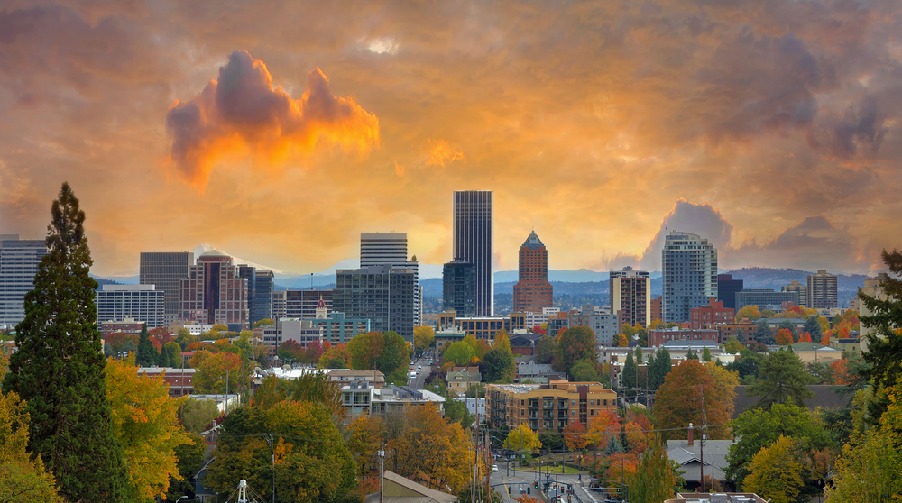
The 12 Best Bike Trails in Portland, Oregon
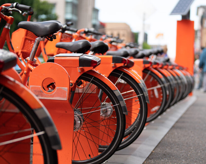
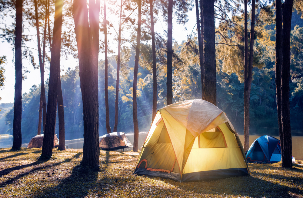
Portland, Oregon, is a famously bike-friendly city. It boasts more than 400 miles of neighborhood greenways, bike lanes, and dedicated paths—and more than 6 percent of the city’s residents commute by bike (the highest percentage of any large city in the United States). As if that weren’t enough, Biketown, the city’s bike-share program, boasts a fleet of 1,500 bright-orange e-bikes equipped with pedal-assist technology, making it easy to see Portland from in the saddle.
So, if you’re interested in learning more about the city’s cycling scene—as well as nearby mountain bike paths—we’ve rounded up a dozen of the best bike trails in Portland, Oregon, including:
- Willamette River Waterfront Loop Ride
- Springwater Corridor
- Heart of St. Johns Peninsula Ride
- Marine Drive Trail
- Trolley Trail
- Sauvie Island Loop Ride
- Banks-Vernonia State Trail
- Crown Zellerbach Trail
- Historic Columbia River Highway State Trail: John B. Yeon Trailhead to Bridge of the Gods
- Historic Columbia River Highway State Trail: Hood River to Mosier
- Post Canyon
- Sandy Ridge Trail System
Ready to strap on your helmet and hit the road (or trail)? Here’s a guide to the best biking in Portland:
1. Willamette River Waterfront Loop Ride
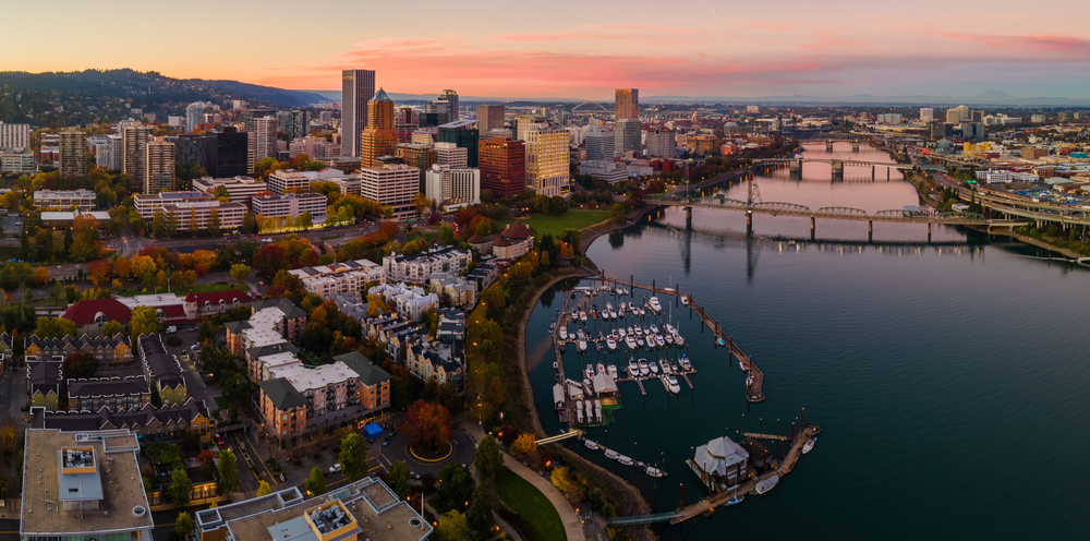
One of Portland’s many nicknames, chosen for the nine bridges that cross the Willamette River in the heart of the city, is Bridgetown. Enjoy an up-close view of those spans along the Willamette River Waterfront Loop Ride, a mostly flat path that covers 10.6 miles in and around the downtown core.
Start the ride just across the river from downtown along the Vera Katz Eastbank Esplanade, which affords dramatic views of the city skyline. From there, you can head north or south while hugging the Willamette River and enjoying sights like the historic Hawthorne Bridge, the Tilikum Crossing (a car-free bridge designed solely for cyclists, pedestrians, and mass transit), Oaks Amusement Park, and several waterfront parks. And, if you get tired or are short on time, you can always cross one of those bridges to cut the ride short.
2. Springwater Corridor
No bike trail typifies Portland’s love affair with cycling quite like the 21-mile (one-way) Springwater Corridor Trail, which begins just south of the Oregon Museum of Science and Industry on the Willamette River waterfront at SE Ivon Street. From there, the mostly flat, multi-use path is largely protected from cars as it passes through forests, neighborhoods, and parks before ending at the small town of Boring (yes, that’s its real name).
The out-and-back nature of the trail makes it easy to turn around whenever you feel like it. One popular destination along the way is the Oaks Bottom Wildlife Refuge, which provides a habitat for more than 175 species of bird. If you’re feeling hungry, the Cartlandia food cart pod hosts nearly 30 carts dishing cuisine from all over the world just off the path in Southeast Portland.
3. Heart of St. Johns Peninsula Ride
The St. Johns neighborhood, at the far northwestern corner of Portland, is known for its laid-back vibe. Leafy boulevards, walkable business districts, and easy access to the Willamette River are all hallmarks of the community (which was its own city between 1902 and 1915 and still feels separate from the rest of Portland today).
The best way to explore it all is from along the 7.5-mile, mostly flat Heart of St. Johns Peninsula Ride, a paved ride that loops through the heart of the community, runs east-west just a few blocks north of the Willamette River, and skirts the edges of the quiet Pier Park.
If you need a break, Cathedral Park—butting up against the Willamette River and offering views of the ornate St. Johns Bridge—makes a fine place to hop off the saddle and cool down just a few blocks from the route. You can start and end anywhere along the ride, but we’re partial to the forested Columbia Park, which hosts picnic tables and restrooms at the eastern edge of the loop.
4. Marine Drive Trail
There’s a certain kind of thrill that comes from cycling the 10-mile round-trip Marine Drive Trail along the Columbia River. The paved path passes a variety of ecosystems and highlights that don’t seem like they should fit together. For example, if you cycle the mostly flat, wheelchair-accessible path from end to end, you’ll pass the Portland International Airport (where planes take off and land seemingly just above your head), enjoy views of the sparkling Columbia River, and ride next to some of Portland’s busiest shopping malls and highways. When you need a break from the city without actually leaving the city, this is the path for you.
The best place to park is at Broughton Beach, which sits along the Columbia River and near the trail’s western terminus. A day-use fee costs $5 and is payable via debit or credit card. (Note that the Broughton Beach parking area keeps variable hours throughout the year—with a closing time as early as 5 p.m. between November and mid-March—so check the parking area’s hours before setting out, just to be safe.) From there, you can head west to where the trail ends at NE 33rd Drive—or east to where it turns south and joins the I-205 multi-use path.
5. Trolley Trail
When you ride the Trolley Trail between Milwaukie and Gladstone, you’re not just getting a good workout or enjoying sublime views—you’re riding through the region’s history. The land upon which the mostly flat multi-use trail sits today once ferried Portland Traction Company streetcars along the Willamette River between 1893 and 1968.
The streetcars are long gone, but in their place, a 10.6-mile round-trip rails-to-trails path runs along the Willamette River, through quiet neighborhoods, and past community parks before arriving in downtown Gladstone. Start from Milwaukie Bay Park, which offers plenty of parking, restrooms, and riverfront views. The park is a 15-minute drive south of downtown Portland, or roughly a 35-minute ride partially along the Springwater Corridor.
6. Sauvie Island Loop Ride
Just less than 20 miles northwest of Portland, Sauvie Island is the largest island on the Columbia River—and a quiet getaway rich with scenic beaches (including one that’s clothing optional), pastoral farmland, and forested trails.
One of the more popular activities in the area is the 12-mile Sauvie Island Loop Ride that traverses the heart of the island. The mostly flat path begins just across the Sauvie Island Bridge (roughly 20 minutes northwest of Portland) and affords surprisingly robust bird-watching opportunities away from Portland’s hustle and bustle. Sandhill cranes, wood ducks, and other species of birds are common sites along the loop.
Note that parking permits are required to park in all wildlife areas on the island and run $10 per day, with permits available at multiple stores on the island. Cyclists might also consider avoiding the island on October weekends, when roads clog with vehicles heading to corn mazes and pumpkin patches.
7. Banks-Vernonia State Trail
Roughly a century ago, a rail line shuttled lumber, freight, and passengers between the communities of Banks and Vernonia in the Oregon Coast Range foothills. The line was abandoned, and its rails were salvaged by 1973, paving the way for the eventual creation of the 42-mile round-trip Banks-Vernonia State Trail, the first “rails-to-trails” project in Oregon.
Today, cyclists, hikers, and movers of all abilities can follow the former rail line on a paved path that boasts mostly gentle grades while showcasing views of the surrounding forests, hillsides, and the 733-foot-long, 80-foot-high Buxton Trestle.
Depending on their abilities, time constraints, and interests, cyclists can start their ride at one of five trailheads along the route. The most popular include the Banks trailhead roughly 25 minutes northwest of Portland and the trailhead at L.L. Stub Stewart State Park about 35 minutes northwest of Portland. Note that a $5 day-use fee applies if parking at Stub Stewart.
8. Crown Zellerbach Trail
The Banks-Vernonia State Trail isn’t the only rail-to-trail project in the Coast Range foothills. Connecting the communities of Scappoose and Vernonia, the 46-mile round-trip Crown Zellerbach Trail follows an old logging trail and offers plenty to see along the way.
The path—partly paved, partly gravel, partly dirt—mostly passes through a thick forest while hugging North Scappoose Creek and offering views of the 15-foot Bonnie Falls, the quiet Vernonia Lake, and an abandoned railroad tunnel that’s accessible via an offshoot path. You’ll find a few steep inclines and descents, mostly concentrated on the westernmost sections of the trail.
In all, nine trailheads offer access to the trail, also known as the C-Z Trail and the Crown Z Trail. For a mostly flat ride, consider starting at Chapman Landing at the trail’s easternmost terminus—the trailhead offers limited parking and a bicycle repair station. If starting at Chapman Landing, the 22-mile drive from downtown Portland takes about 30 minutes.
9. Historic Columbia River Highway State Trail: John B. Yeon Trailhead to Bridge of the Gods
When the Historic Columbia River Highway, now also known as US-30, was built between 1913 and 1922, the winding route was celebrated as the “King of Roads.” It skirted basalt cliffsides, wound through the Columbia River Gorge’s canyons and chasms, and afforded epic views of the region’s many waterfalls.
However, sections of the highway fell into disrepair by the 1950s, and the route exists today mostly as a few disconnected stretches of roadway. A few sections have been repurposed as the Historic Columbia River Highway State Trail, where hikers and cyclists can explore the old road, now protected from passing automobiles on nearby Interstate 84.
The westernmost stretch of the Historic Columbia River Highway State Trail runs between the John B. Yeon Trailhead and the Bridge of the Gods in the community of Cascade Locks. The 14-mile round-trip path is mostly flat, other than the occasional steep climb and descent, and passes largely through tunnels of Douglas fir trees. Occasional views of the surrounding hillsides, trickling creeks, and thundering waterfalls abound.
If you’re coming from Portland, the drive to the John B. Yeon trailhead takes about 35 to 40 minutes, and it’s about 45 minutes to the trailhead in Cascade Locks.
10. Historic Columbia River Highway State Trail: Hood River to Mosier
Another scenic part of the Historic Columbia River Highway State Trail is the nine-mile round-trip easternmost segment that connects the communities of Hood River and Mosier.
This segment sits high above the Columbia River and is largely flat, with steady yet gentle inclines. Heading out from Hood River (where bike rentals are plentiful), the path passes through a forest of bigleaf maple that gradually turns arid as it heads east. Near the trail’s eastern end is Mosier Twin Tunnels, a pair of oft-photographed tunnels that cut through the Gorge’s basalt cliffs. (If you’re riding in summer, you’ll appreciate how cool these tunnels are on sunny afternoons.)
Note that a $5 day-use fee is required to park at either trailhead. From downtown Portland, the eastbound drive to either trailhead takes between 60 and 70 minutes.
11. Post Canyon
Just west of Hood River, the Post Canyon Trail System is among the most beloved mountain biking destinations in the Pacific Northwest. Praised by newbies and veterans alike, the network of 38 trails (comprising nearly 60 miles) offers a variety of terrain, including flowing single-tracks, steep climbs, S-shaped curves, and myriad technical challenges. Quick drops, wood features, jumps, bermed turns, and other challenges are all accounted for in Post Canyon.
Seven trailheads offer access to Post Canyon—so rather than tell you where to start or end, we’d suggest consulting with a bike shop in Hood River for recommendations; staff members are typically happy to provide the latest news and personalized recommendations based on your interests and skill levels. Rentals and shuttles are also widely available if you don’t have your own gear. From Portland, the 63-mile drive to Post Canyon takes about one hour.
12. Sandy Ridge Trail System
Nestled in the forested foothills of Mount Hood, the Sandy Ridge Trail System hosts 17 miles of paths for riders of all skill levels.
After ascending up to 1,300 feet on a well-graded climbing road, mountain bike riders can choose among three downhill runs, each geared toward various abilities. On the thrilling descent, riders follow single-track trails while breezing through forests of Douglas fir, mountain hemlock, and red cedar. Some paths include jumps, berms, tabletops, rock gardens, and other challenges for an added thrill. Riders will find everything from machine-built, beginner-friendly trails to double-black-diamond paths for maximum difficulty.
As an added bonus, the Sandy Ridge system was designed to drain water efficiently, which means it remains ridable even in the midst of rain. From downtown Portland, the 41-mile drive to the Sandy Ridge Trail System takes 50 to 60 minutes.
Ready to hit the trail? With a Landing membership, you’re never far from your next favorite bike ride. Learn more about how Landing can help you find the right home and fall in love with your new city.
Related Articles